Finetrack staff activity blog
For everyone here at Finetrack, outdoor sports is deeply integrated into our everyday lives. We long to spend time in places where we can fully immerse in nature and give in to the experience and beauty of it all. We find that through the joys of these moments, we are able to derive inspiration and innovative ideas for our products.
Posted by: Sou Aikawa
Combining various activities in a logical manner has become a theme in my adventures. Inspired by a friend traveling to Tohoku, I decided to embark on a round trip through the region.
The route for this journey is the "Mogami Coastal Route," a sea-to-summit-to-sea adventure. Starting from the mouth of the Naruse River in Higashi-Matsushima City, we’ll follow the ancient Mogami Coastal Route through the mountainous region, crossing the mountains and tracing the water line down to the sea along the Mogami River.
The Mogami Coastal Route was an important road connecting the Pacific Ocean and the Sea of Japan from ancient times up until 1892, when a national road was constructed through the mountains. The term "Kaido" (coastal road) reflects this historic significance.
Our plan is to start on the Miyagi Prefecture side with folding bikes, trek across the mountainous section, and then ride down to a suitable point on the Yamagata Prefecture side, before pack rafting down the Mogami River to its mouth. This journey aims to connect sea to sea, using only human power and carrying all our gear.
We have a rough strategy in mind, but the details will rely on on-site adjustments—an approximate plan. Will we be able to reach the goal safely in three days?
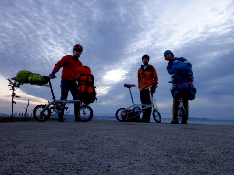
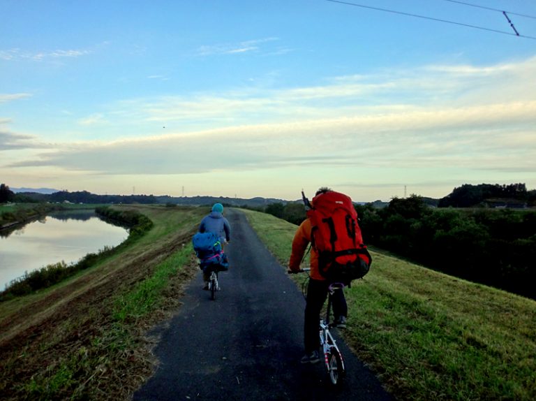
At 5:15 AM, we gathered on the right bank of the Naruse River estuary in Higashi-Matsushima City. Everyone successfully met up, all of us with 14-inch folding bikes.
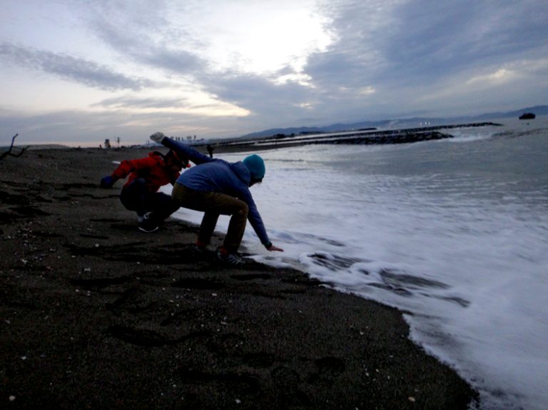
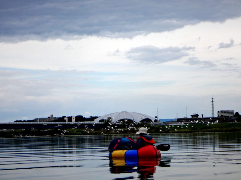
We began our journey by touching the Pacific Ocean.
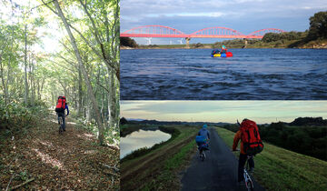
First, we set off on an 80 km bike ride. A maintenance road runs along the banks of the Naruse River, providing a smooth, comfortable route, much like a dedicated cycling path.
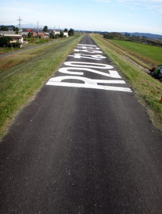
Distance markers have been thoughtfully placed along the way.
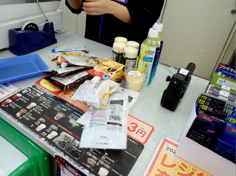
At the last convenience store, we received a generous supply of local coupons through the "Go To" campaign.
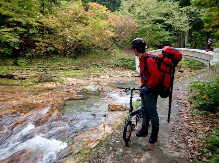
Finally, we climbed the mountain path to reach the starting point of the Saishō Highway, just before Urushizawa Dam. From here, we began our 13 km hike.
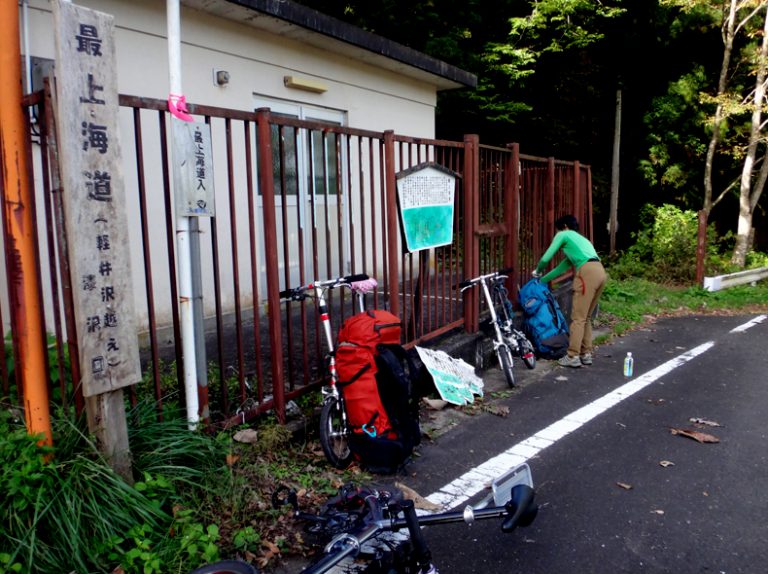
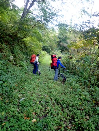
The Mogami Coastal Route was likely used by horses and large carts during the early modern period. We thought we might be able to push and carry our folding bikes without packing them, so we gave it a try—and it was quite doable. We decided to continue with the push-and-carry approach instead of packing them up.
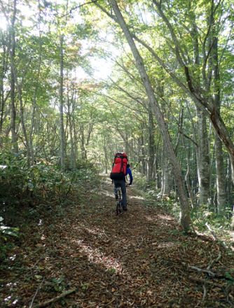
It was an exquisite hiking route through a beautiful mixed forest. Whenever we found a spot that seemed rideable, we would hop on our bikes and give it a try.
As we hiked along the ancient path, we occasionally encountered remnants of old structures, a testament to the historical significance of the route.
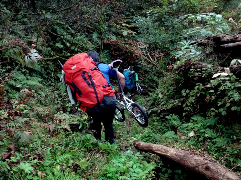
We crossed the difficult sections by carrying our bikes.
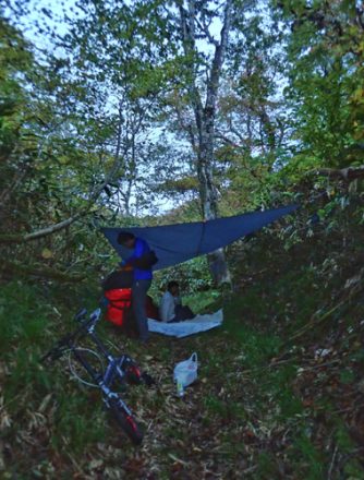
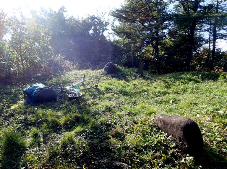
We set up a tarp for camping in a dry area near a water source, hiking until just before dark. The temperature dropped to around 0 degrees Celsius at night.
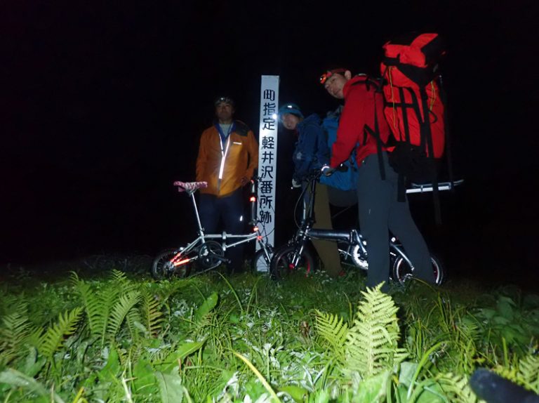
The next morning at 4:30, we set out in light rain, passing through the remains of a former checkpoint called Karuizawa Banjo.
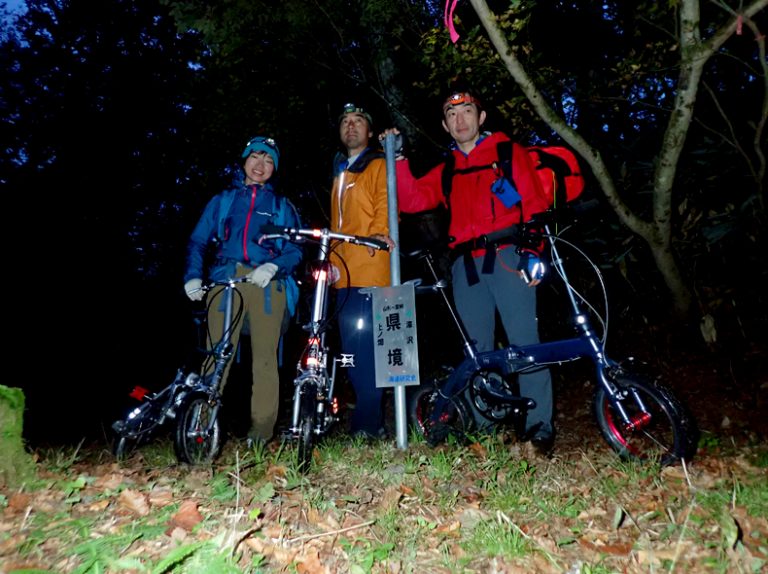
We crossed the Central Divide. Although it's called the Central Divide, it’s only about 600 meters high in this area. True to its ancient route, it features a practical mountain crossing that takes advantage of the terrain's natural contours.
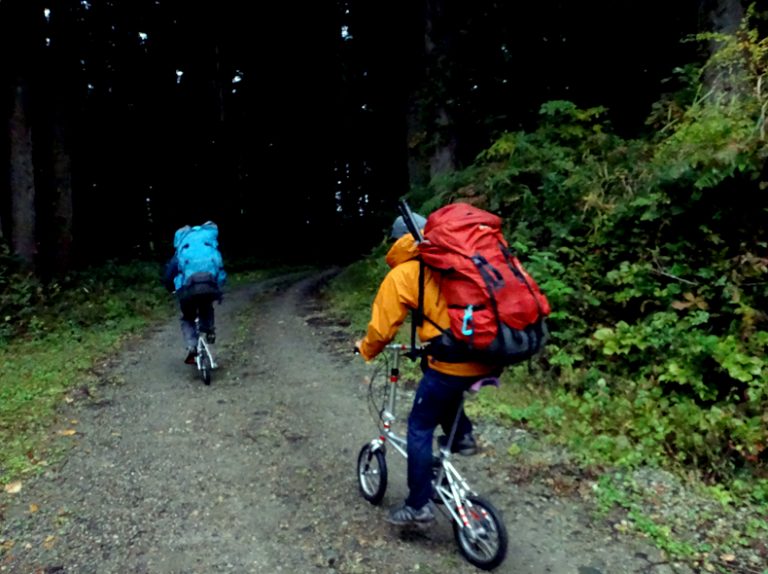
We reached the forest road after about an hour and a half. Having bikes in such situations greatly enhances mobility.
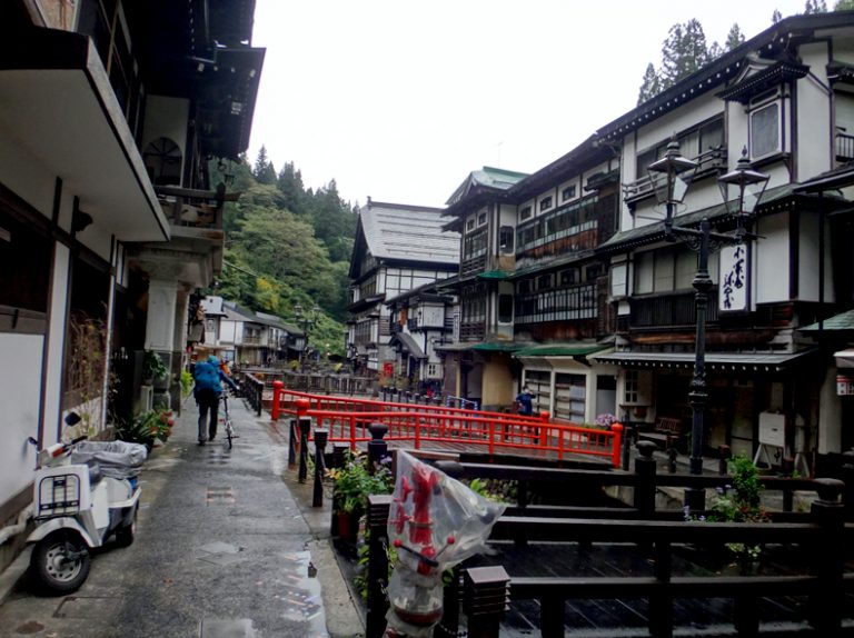
After passing through the remnants of the silver mine, we continued along a beautiful riverside walking path toward Ginzan Onsen.
Ginzan Onsen, which flourished at the foot of the silver mine, turned out to be a charming hot spring resort with a rich history, despite us having done little research beforehand.
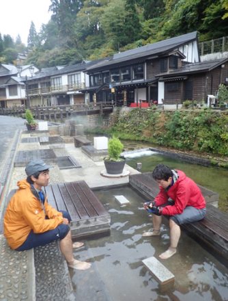
We ended up relaxing at the foot bath.
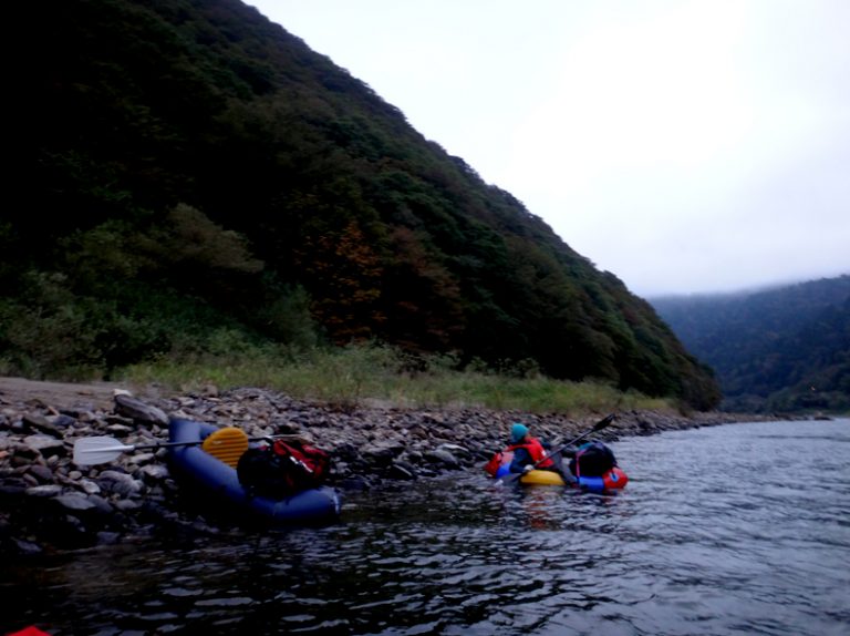
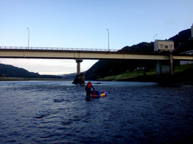
From there, we resumed the cycling section along the Mogami River. As we pedaled, we kept an eye on the river’s conditions and considered a suitable starting point for the next day’s itinerary.
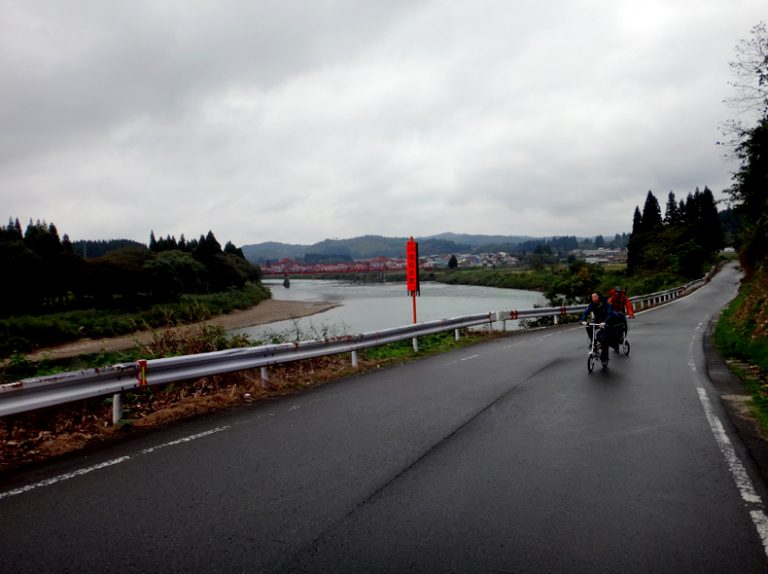
After pedaling approximately 50 kilometers, we chose a spot 47 kilometers from the river mouth as the starting point for the downriver segment. Considering that it would take about a day and three hours, I anticipated that descending the river with a pack raft in that time frame might be quite challenging.
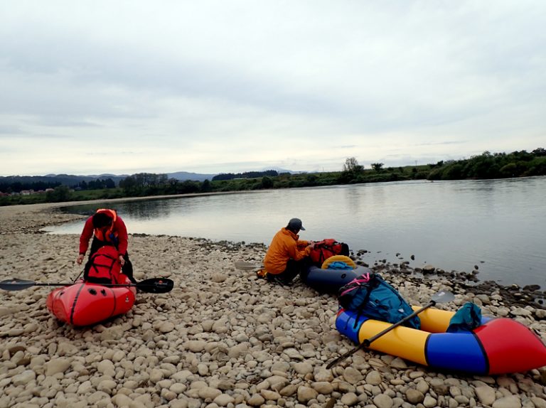
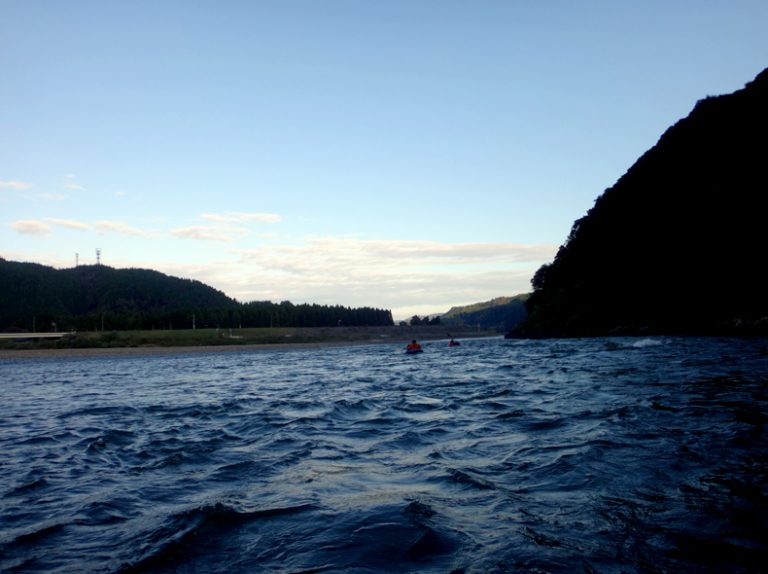
Other than a single dam along the route, I hadn’t done much research on this section of the Mogami River. While I had planned to portage through any particularly difficult spots, the rapids were surprisingly manageable, with a maximum rating of grade II-minus. Even with a pack raft loaded with a bicycle, navigating the river felt entirely feasible.
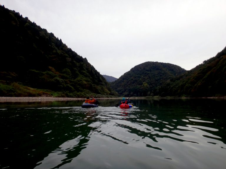
Passing through a mountainous, canyon-like section…
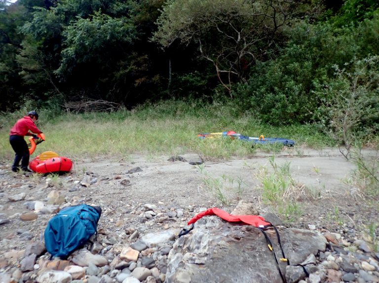
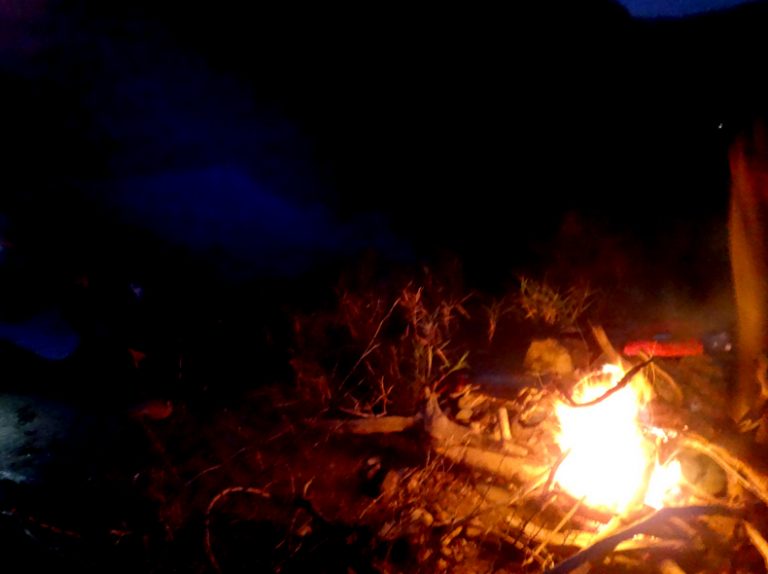
We found a wonderful sandy spot just before dark, despite the rocky riverbed everywhere else. We decided this would be our campsite for the night. The soft sand provided a comfortable place to rest, making it a perfect end to an adventurous day on the river.
We enjoyed a bonfire, as there was plenty of firewood available. After a long day spent wet, and with temperatures dropping to around 5 degrees Celsius, the warmth from the fire was a real comfort.
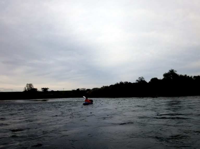
We started our descent at dawn the next morning.
We were worried about the dam, but we managed to pass by it without any issues.
The rapids below the dam were a bit intense.
We’ve arrived at the Shonai Plain!
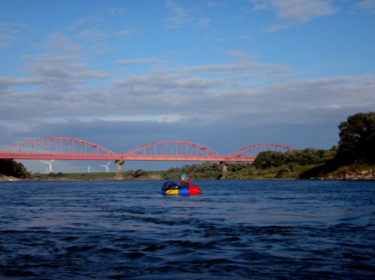
Perhaps due to the temperature drop over the past two days, Mount Chokai, visible in the distance, was now completely covered in snow.
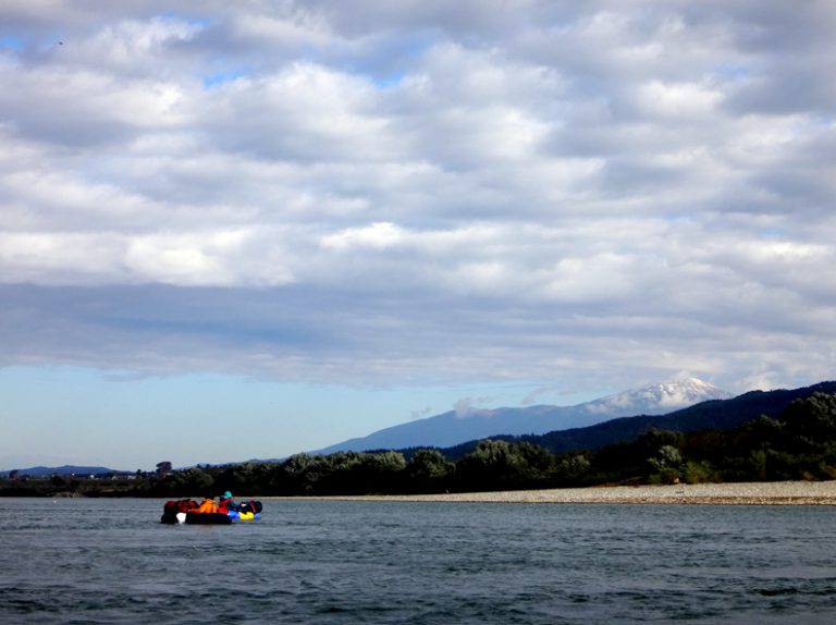
The plain section of the river is very wide that it makes the tiny figure in the picture look even smaller. It’s refreshing to be surrounded by nature, with hardly any man-made structures in sight.
Still, some refreshing rapids appeared, along with a few complex flows tangled with tetrapods that gave us a scare.
I’d heard that the lower reaches of the Mogami River are the largest swan migration site in the country, and we were able to see many swans. Thanks to paddling, we could observe them up close—a truly unique perspective.
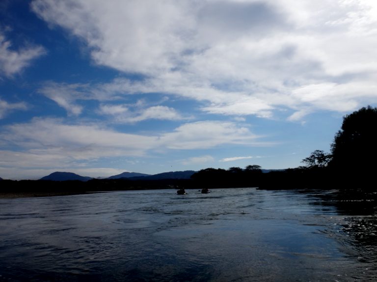
The last 10 kilometers had no current, making it quite dull. We could see the river’s end, but it didn’t seem to be getting any closer.
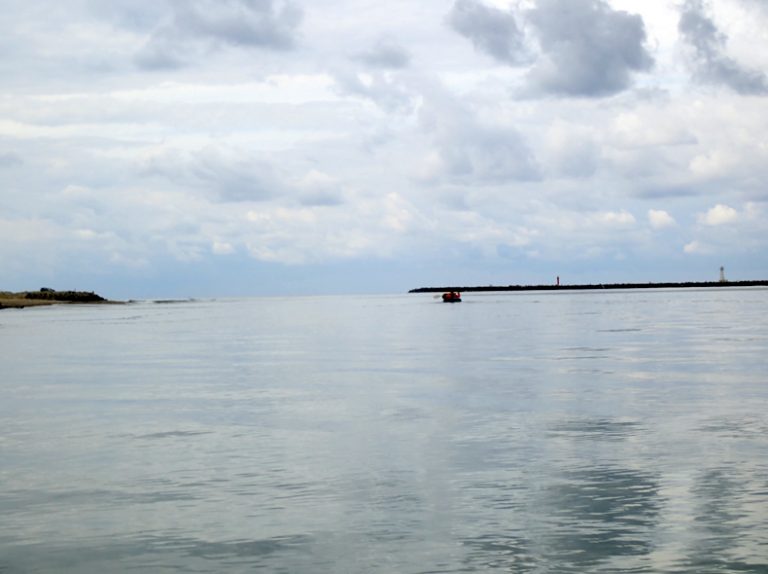
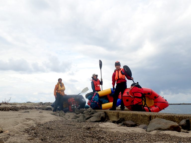
After about 7 hours and a 35 km descent, we finally reached our goal and touched the Japan Sea! A single line now connects the Pacific Ocean on the east to the Japan Sea on the west.