Finetrack staff activity blog
For everyone here at Finetrack, outdoor sports is deeply integrated into our everyday lives. We long to spend time in places where we can fully immerse in nature and give in to the experience and beauty of it all. We find that through the joys of these moments, we are able to derive inspiration and innovative ideas for our products.
Posted by: Sou Aikawa
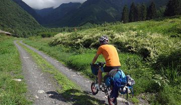
During the Obon summer holidays, we embarked on a cross-Japan Sea-to-Summit-to-Sea journey that combined cycling and mountaineering. I used a folding bicycle, which turned out to be an excellent choice. Recent models of folding bikes have impressive performance—when folded, they fit neatly into a backpack, and despite weighing only around 7 kg, they offer solid riding capabilities. I made a few modifications, adding gears and switching to off-road tires.
This bicycle allowed for a unique style of travel: riding wherever possible and carrying it in a backpack when necessary. My planned route began in Toyama, on the Sea of Japan side, and crossed to the Pacific Ocean, all while summiting Japan’s highest peaks: Mt. Fuji, Mt. Kita-dake, Mt. Okuhotaka, and Mt. Kiso-Komagatake—thus conquering the tallest mountains in the Northern, Central, and Southern Alps.
The entire journey was human-powered, carrying all essential gear, with a one-way route and no return trips. The total cycling distance was 360 km, along with an additional 100 km of hiking. The question remained: could I complete it in 10 days? The adventure took place from August 11-19, 2017.
August 11: From Iwase Beach, Toyama Bay, to Shin Hodaka, and then on to the Hodaka daira Tent Site.
After a late departure the night before, I got off to a slow start.
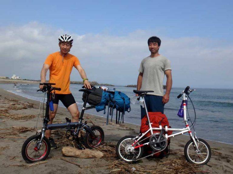
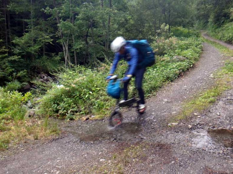
The cycling section was done on this Mini Velo. Looking at it now, those 14-inch wheels seem so small!
The cycling leg was quite the experience. That day was brutal, with the scorching sun beating down. Covering 95 km with a 1,000 m elevation gain on a Mini Velo proved to be quite a challenge. By the time we arrived at the Hodaka-daira Tent Site, it was already past 7 PM, and we were thoroughly exhausted from the first day.
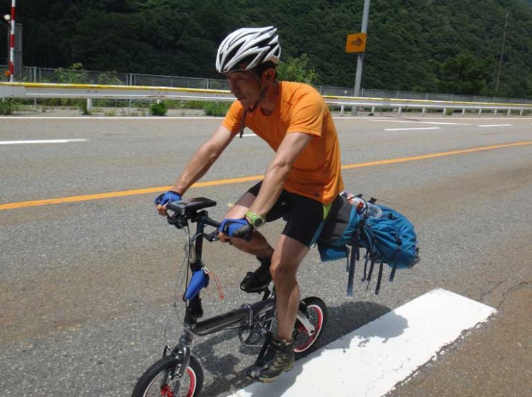
August 12: Hodaka daira Tent Site – Via Shiradake Valley to Okuhotaka dake – Via Takezawa to Kamikochi
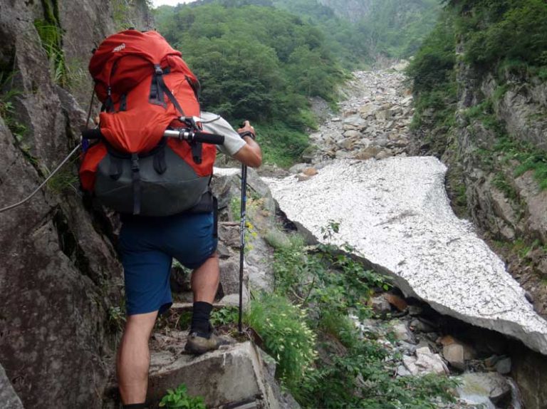
On this day, our goal was to cross the first mountain, Okuhotaka-dake, and make it to Kamikochi in one go. We chose the shortest route through Shiradake Valley, but the estimated course time was over 15 hours. With this style of travel, we could only manage a pace slightly faster than the course time, so even if everything went smoothly, we would still be cutting it close to sunset.
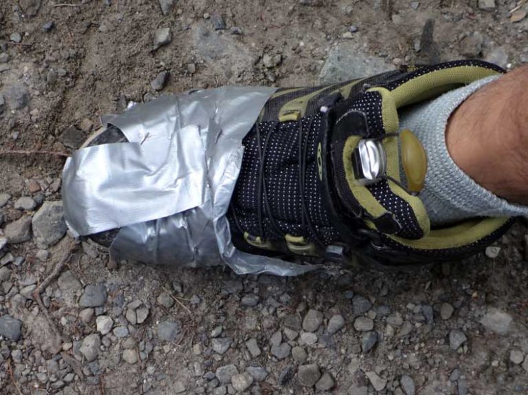
I began the climb in my old mid-cut trail running shoes, but halfway up, the soles started to break down. With no other choice, I used duct tape to hold them together and managed to continue climbing.
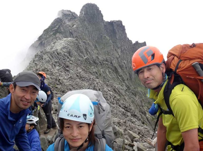
At the summit of Okuhotaka dake, we ran into our colleagues, Iwai and Oyabe, who were traversing the entire Northern Alps. What are the odds! The descent via Takezawa was tough on my legs, but we managed to reach the campsite at Konashi-daira without needing to use headlamps.
August 13: From Kamikochi to Kiso Komagatake (Fukushima B Course Trailhead)
We descended quickly from Kamikochi to Lake Azusa and followed the 54 km route to the trailhead of the Central Alps on the Kiso side. Although the 500-meter ascent at Sakai Pass was tough, the day overall felt relatively easy.
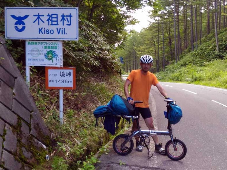
We browsed the home center in Kiso Fukushima for a replacement for my broken shoes, but aside from a pair of sneakers for around 950 yen, the only options were safety shoes and rubber boots. With no other choice, I opted for the sneakers to continue the rest of the journey. Since we had some extra time, we took it easy on the final ascent to the ski resort and camped at the trailhead for the night.
August 14: Kiso Komagatake Fukushima B Course Trailhead – Kiso Komagatake – Inamae dake – End of Isedaki Forest Road – Kurokawa Forest Road – Komagane Campground
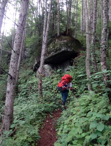
Hoping to cross the Central Alps and reach Todai by the end of the day, we set out at 4:30 AM with headlamps on. It seemed that not many people climb this mountain from the base; the ascent from the Kiso side was incredibly quiet. By this point, the fatigue from the first two days hit us hard, and we both felt extremely worn out.
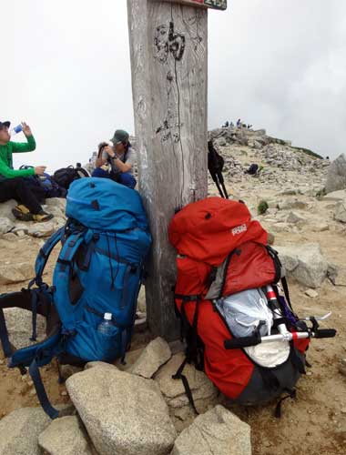
After a 7.5-hour ascent, we reached the summit. The bustling atmosphere was a stark contrast to the quiet trails on the Kiso Fukushima side. The impact of the single cable car is undeniable.
The route from the Ina side is completely touristy. We knew that if we ended up at the base of the cable car station, we couldn’t use our bicycles, so we opted for a route that passed via Inamae dake and Udonya Pass, descending toward the Kurokawa Forest Road.
As we walked, I realized that this path was once a major route for climbing Kiso Komagatake. Old stone markers and remnants were scattered throughout, making the journey quite fascinating. I couldn’t help but wonder if there might have actually been an udon shop at Udonya Pass in the past.
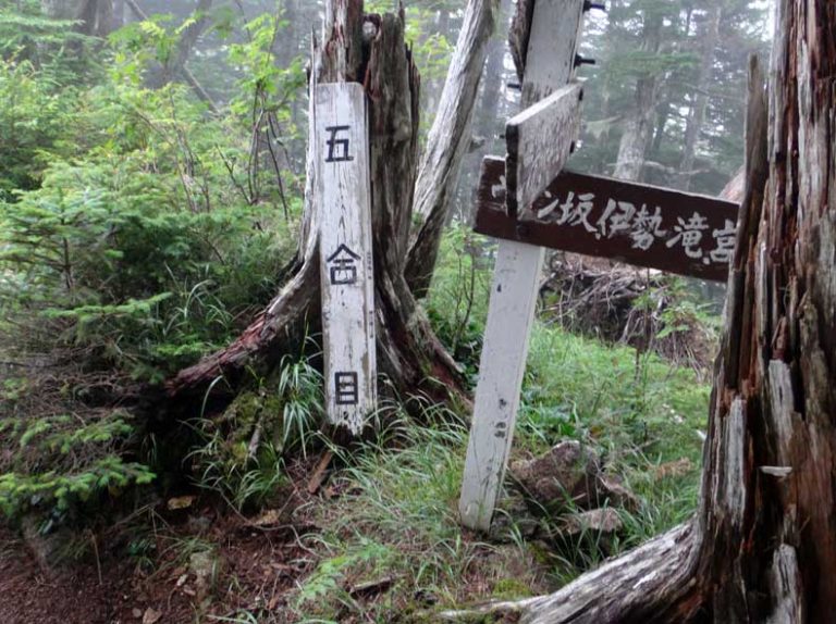
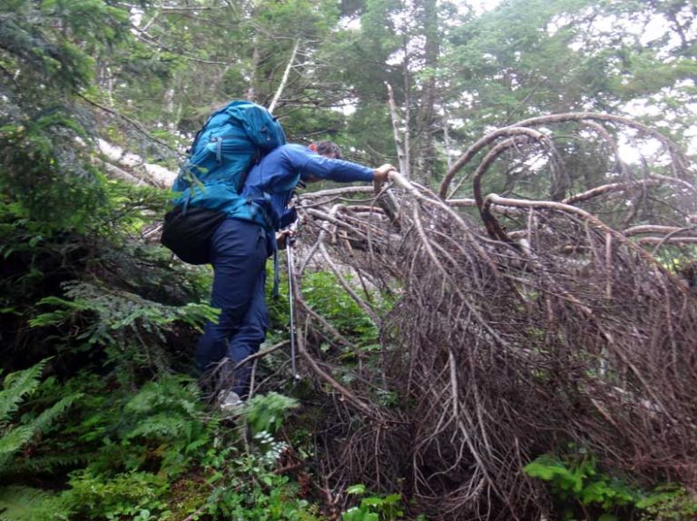
However, the dotted trail descending along the Kurokawa River was completely abandoned, and it took us about three times longer than expected, which was quite stressful. To make matters worse, it started to rain.
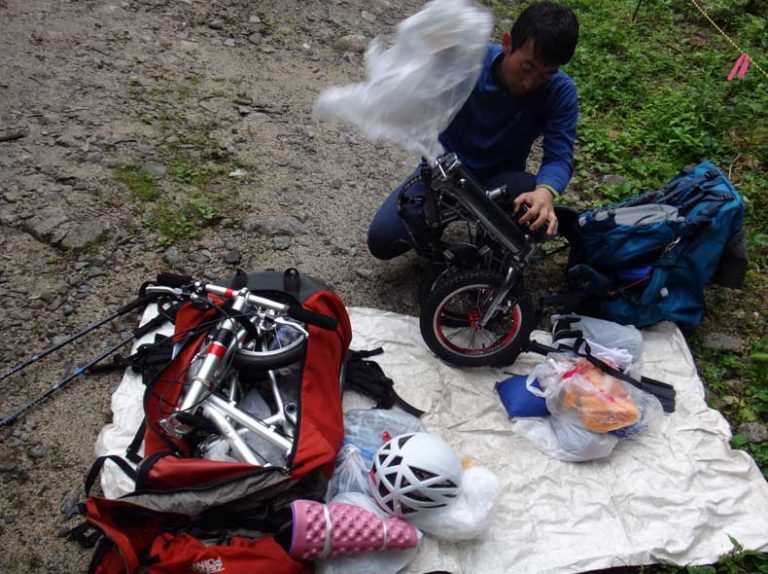
In the rain, we swiftly switched from hiking gear to cycling gear. We've definitely gotten quicker at making the transition.
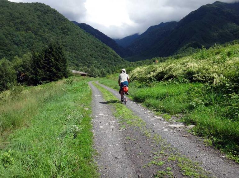
After that, there was a 10 km downhill on a forest road with a 1,000 m elevation drop. Surprisingly, our small-wheeled bikes handled it well, but the frequent breaks in the road surface were frustrating for this wheel size. When we finally reached the paved road, we were racing against dusk as it was getting dark. There was no way we could make it to Todai, so we dashed into a nearby restaurant for a staple local dish, Sauce Katsu don, and spent the night at the Komagane campground.
August 15: Komagane Campground – Todai Bridge – Kitazawa Pass Choeiso Tent Site
It was a gloomy day, with rain from the morning that persisted all day long. We were now entering the Southern Alps. The troublesome part was that, despite the extensive network of forest roads in the mountainous region, bicycles were prohibited. For now, we planned to ride the 38 kilometers to Todai, and beyond that, we would have to either push our bikes or carry everything in our backpacks.
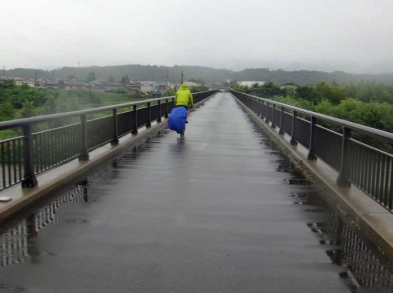
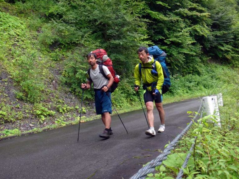
We ended up having to carry all our gear in the rain for about 28 kilometers to Kitazawa Pass. It was a tough day—walking while getting drenched by the rain—and by the time we reached Kitazawa Pass, I had almost mentally broken down. We decided to stay at the Choeiso tent site for the night.
August 16: Kitazawa Pass Choei-so Tent Site – Ryomata Hut – Mount Kitadake – Hirogawara
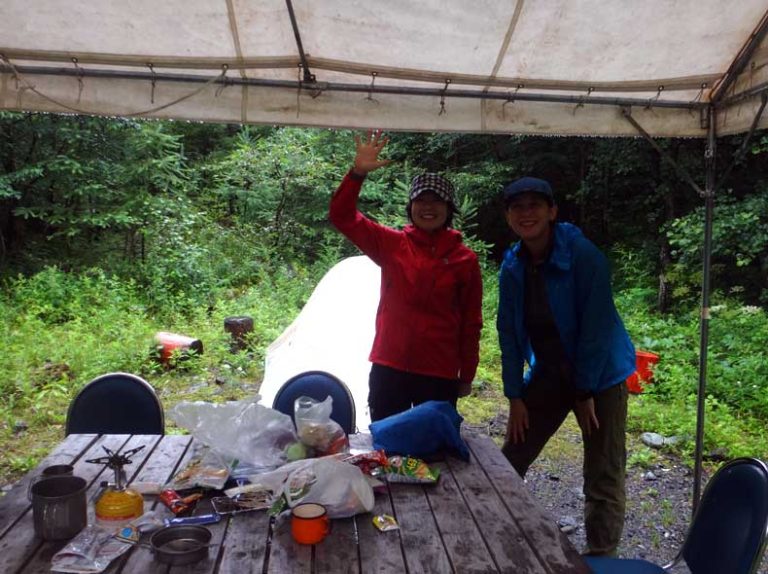
The rain continued relentlessly this day. At Ryomata Hut, we ran into our colleagues, Tanaka and Nakayama from Finetrack, who were also stuck due to the rain. They generously set up a temporary aid station for us—thank you! While there, we learned that the trail to Kitadake was in poor condition and had been reduced to a dotted-line route. Despite the temptation to stay put because of the rain, we decided to push on after hearing that more rain was expected the following day.
The route from Ryomata starts with mostly stream climbing, and the signposts are unclear. It’s definitely not a route suitable for the general public.
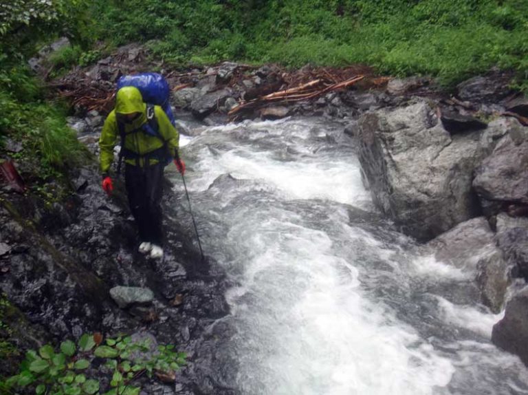
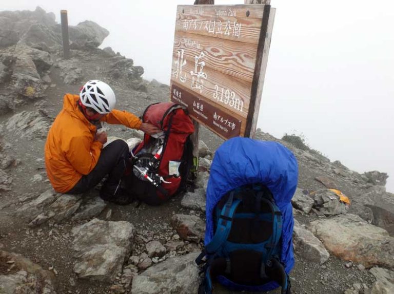
As we approached Nakashiranesawa no Kashira, the rain finally stopped, and the view gradually began to open up. Despite being on Kitadake, the summit was deserted. In the end, we achieved a rare (or perhaps odd) record of not encountering anyone all day, from Ryomata to Hirogawara.
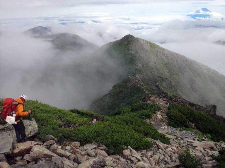
On the way down, we caught sight of Mt. Fuji, our goal for tomorrow. It looked so far away!
August 17: From Hirogawara to Lake Kawaguchi
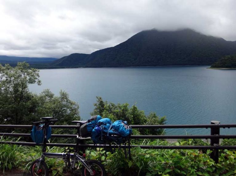
That day, we traveled about 100 km to the foot of Mt. Fuji. It was a pleasant cycling trip around the Fuji Five Lakes. My ¥950 shoes, which had survived the rain in the Southern Alps, finally started to fall apart, so I picked up a new pair at a sports store along the way—my third pair on this journey.
August 18:
We took a rest day at a campsite by Lake Kawaguchi, giving the skin on my feet time to recover from two full days of rain and the wear caused by the ¥950 shoes. We also waited for better weather on Mt. Fuji.
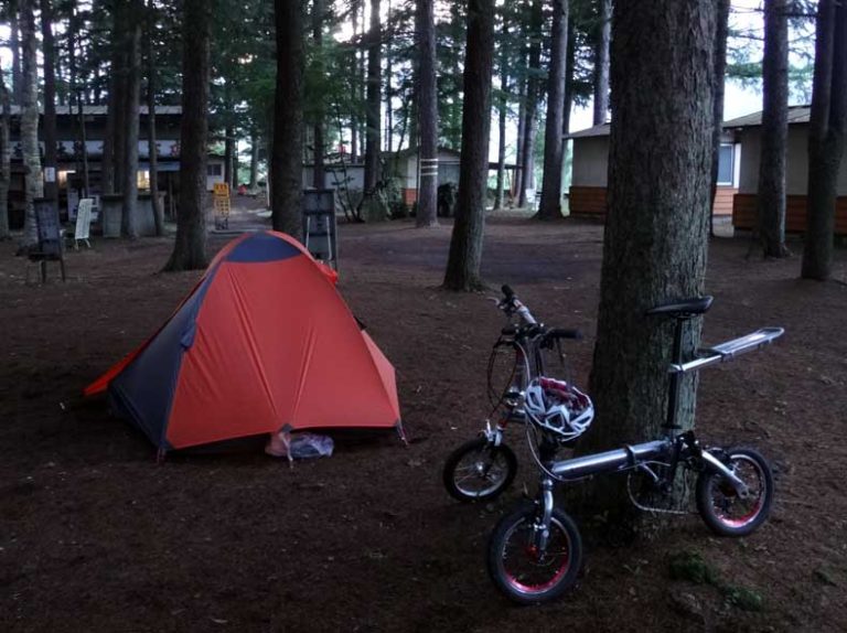
August 19: Lake Kawaguchi – Subaru Line – Yoshida 5th Station – Summit – Fujinomiya 5th Station – Tagonoura Minato Park
It was Day 9, the final highlight of the journey, with an ascent of 3,000 meters and a descent of 3,776 meters as we hiked over Mt. Fuji. We started at 2 AM.
The first challenge was the 1,500-meter climb up the Fuji Subaru Line. It was tough on the 3-speed Mini Velo, but despite the difficulty, we made it to the top with just two breaks, without needing to push the bike.
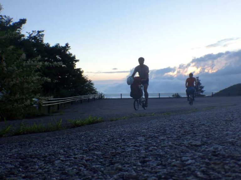
We arrived at the 5th Station just before 8 a.m. The weather was perfect, making the day of waiting completely worth it.
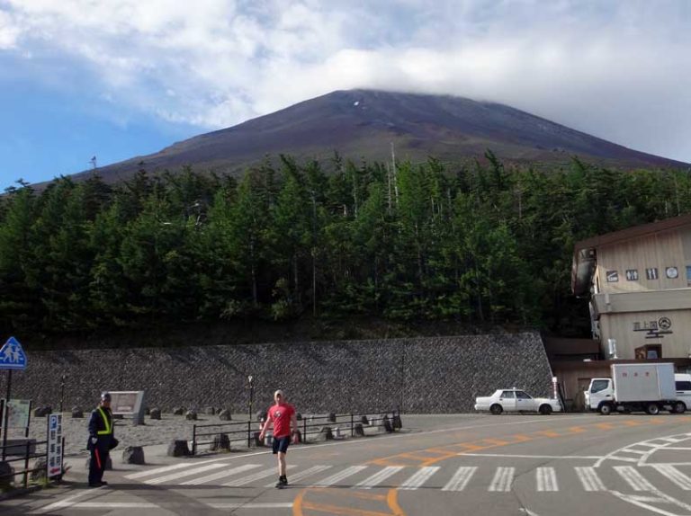
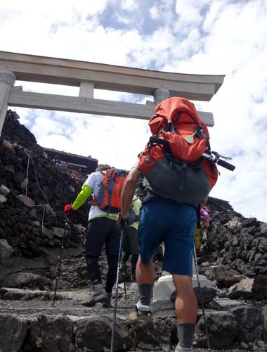
Next was a 1,500-meter ascent on the hiking trail. Though we paced ourselves, we stuck to a strategy of not stopping, and to our surprise, we reached the summit in just over four hours.
We circled around the crater to reach the highest point. The best weather of the trip lifted our spirits.
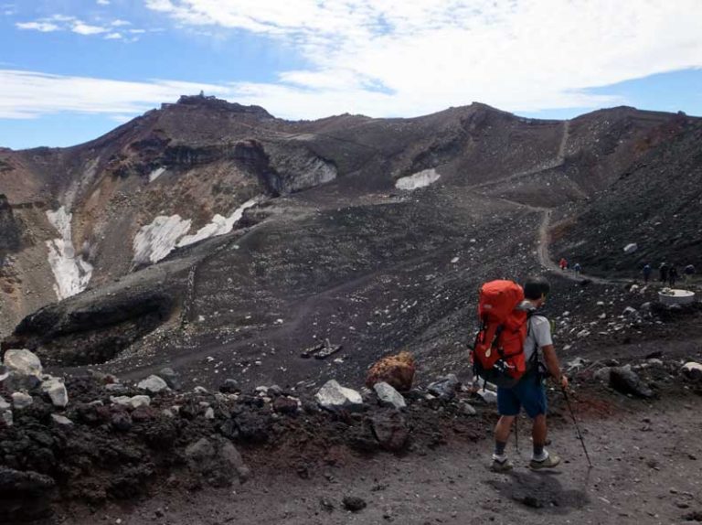
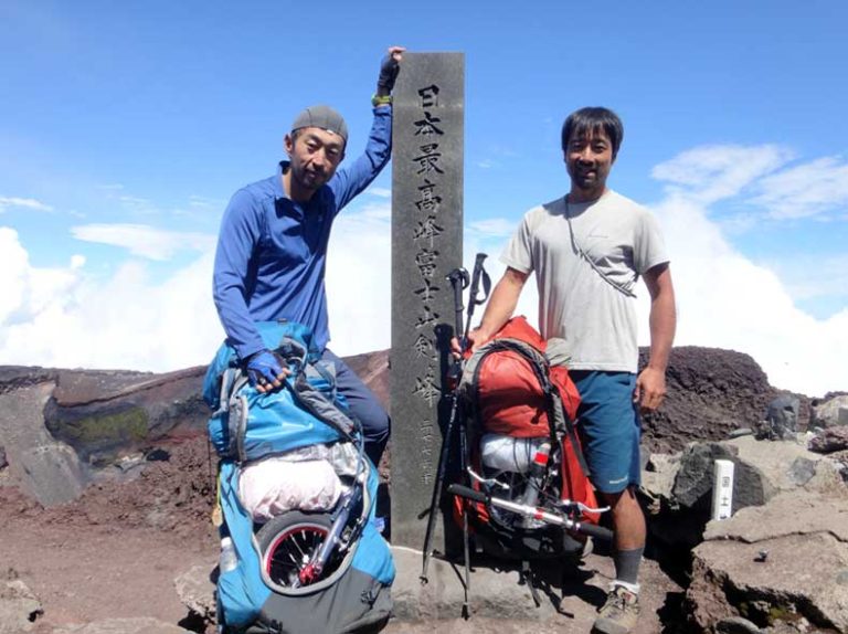
We arrived at the highest point of our journey: 3,776 meters.
Finally, there was a 54 km road section to the sea, descending 2,400 meters. The first 27 km of this descent was non-stop, without any traffic signals—it was incredible. I don’t think I’ve ever experienced such a long, uninterrupted descent on a bike, not just on this trip.
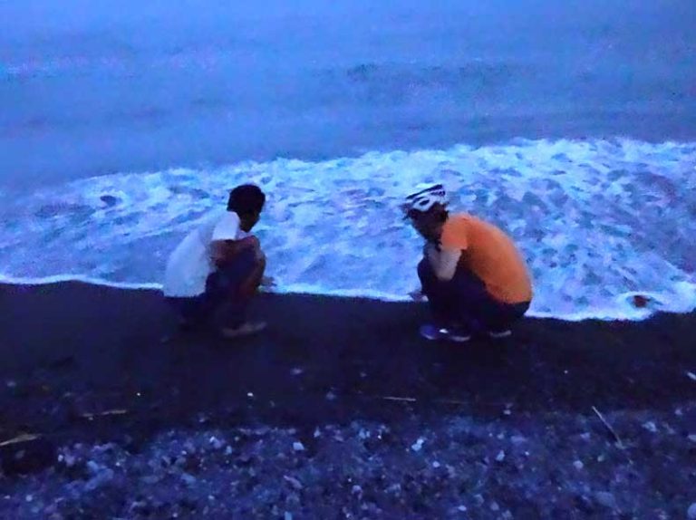
We arrived at the goal, Tagonoura Minato Park, at 7 p.m., just barely making it before needing lights. Touching the seawater marked the completion of our journey, connecting the sea to sea.
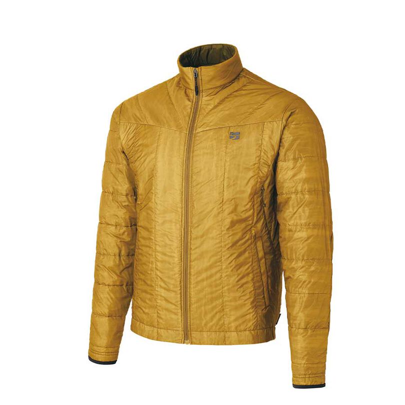
For this journey, I prioritized lightweight gear, consolidating my cold weather protection into the Polygon UL. It served both as a warm layer at the campsite and as my morning riding gear. I intentionally wore it over my wet clothes to help dry them out, and it proved to be incredibly versatile—a great choice for the trip.
Another useful item was the half-toe clips that attach to the bike pedals. Simply attaching them significantly improved pedaling efficiency, and they work with any type of shoe. This made them perfect for a journey like this one, which involved both cycling and walking segments.
